Wednesday, July 27, 2005
Tolmie Peak, Mount Rainier National Park
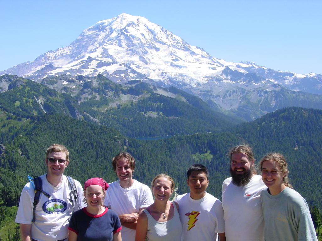
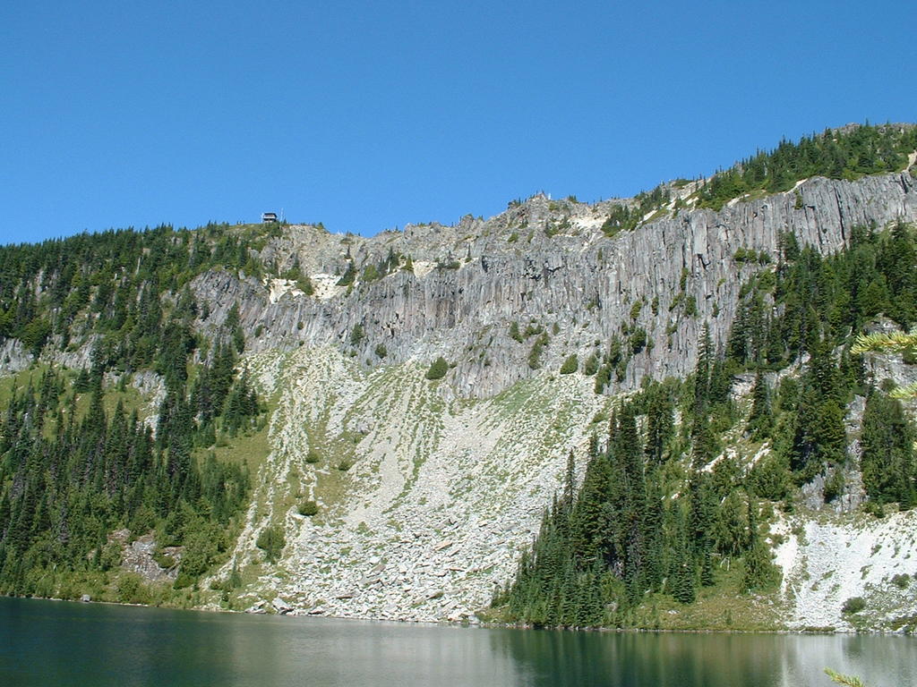
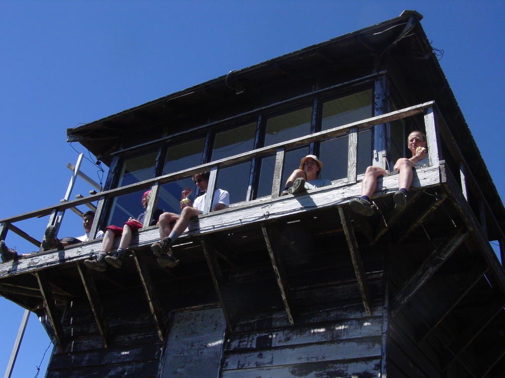
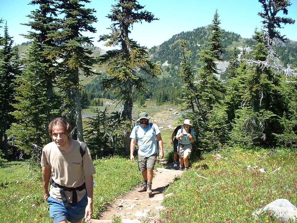
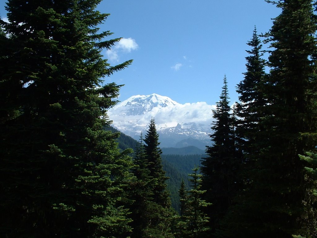
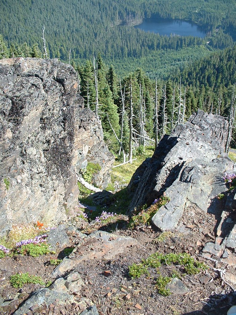
The wedding hiking crew concluded their adventures with a nice day hike starting from the Mowich Lake Campground. The trail skirts around Mowich Lake and then heads through forest towards Ipsut Pass and then to Eunice Lake, where several members of our party cooled off with some skinny-dipping. I enjoyed watching the salamander swimming under the water. We then climbed up to Tolmie Peak, where there is an old lookout tower with a gorgeous view of Mt Rainier, as well as the Olympics and even Glacier Peak and Mt Baker! The return trip was uneventful and was a nice conclusion to our 3-day trip to the area. Members of the hiking party included: Me, Keith and Shaili, Dave P., Bil and Joanna, and Britta. This is a nice day hike with a pretty lake and an excellent view at the end.

Distance: 6.5 miles
Vertical Gain: 1000'
Weather: Sunny 60s
Dog Rating: NO DOGS ALLOWED IN MRNP. Grrrrr.
Read more!
Tuesday, July 26, 2005
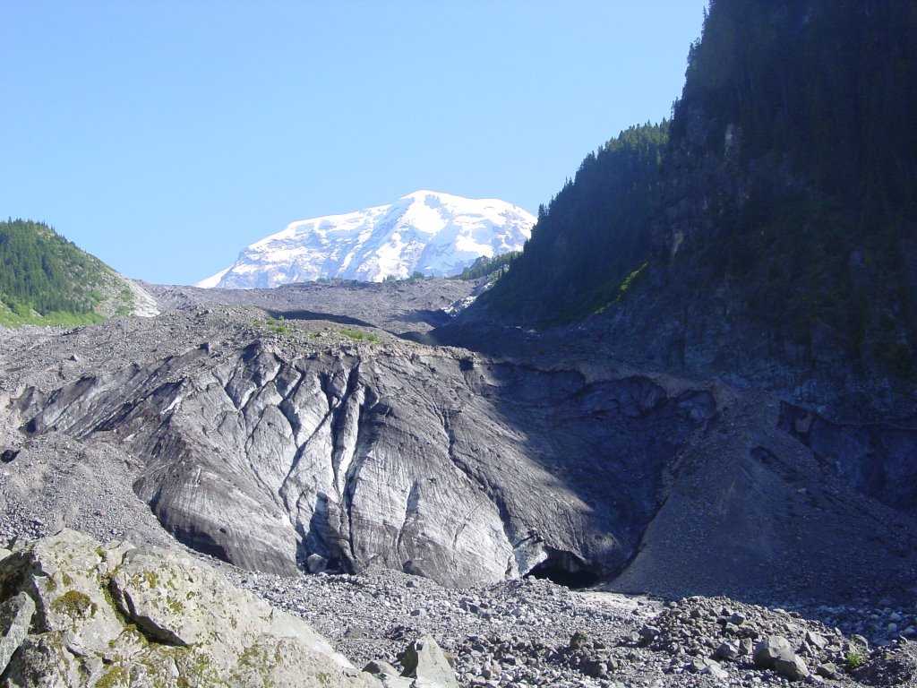
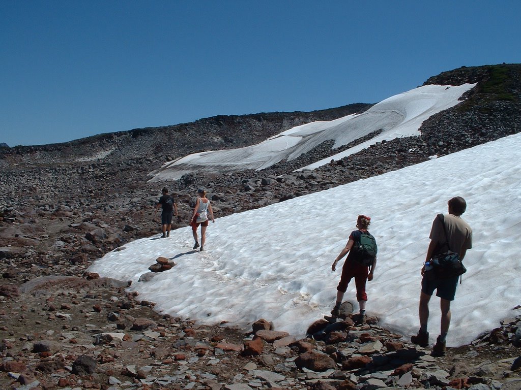
Spray Park, Mount Rainier National Park
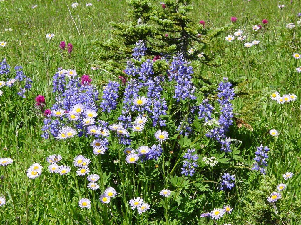
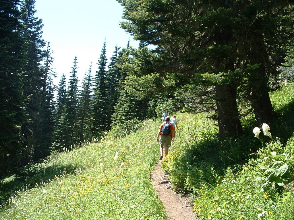
Due to a permit snafu, we had to do our 2-day hike (with a remote camp) in a single day-hike. We started from the Mowich Lake campground and headed east towards the Eagle Cliffs viewpoint (where we argued about whether a knife-like ridge was part of an active glacier or a moraine) and then to Spray Falls (where we ate some yummy smoked trout). The falls were quite impressive. We then slogged up through the forest until reaching the first of the Spray Park meadows (listening to Britta's tale of being attacked by a swarm of bees while mushroom hunting). The views of Rainier were excellent, flowers were in bloom, and all was good in the world. The trail climbs through meadows until reaching an area of bare rocks and views to the Olympics and northern Cascades. We then began a long, long descent to the Carbon River Valley. Once we finally reached the valley, we headed up-valley and soaked in the sun while watching the Carbon Glacier. All that was left was the final 3.5 miles down to the Ipsut Creek campground where Dave P had left his rental SUV. For some reason Bil decided to run this section. All 7 of us piled in and zipped back up to the Mowich Lake camp. Britta, Keith, Shaili, Dave P, Bil, Joanna and I comprised the hiking party today.
Distance: About 12 miles
Elevation Gain: 1700', 3200' loss
Weather: Gloriously sunny, 60s
Dog Rating: No Dogs Allowed (Grrr)
Read more!
Monday, July 25, 2005
Summit Lake, Mt Baker-Snoqualmie Ranger District
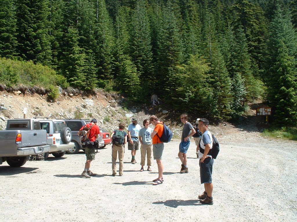
A motley crew of wedding guests gathered for a Monday afternoon hike in the shadow of Mount Rainier. After a late late start, we arrived at the trailhead (the gravel roads were a bit confusing) and immediately got down to business. The Twin Lakes were quickly attained and we busted on over to Summit Lake, where we enjoyed the sunshine, some food, and some wading/swimming. After some quality time on the lake, we circumnavigated the lake and climbed to a nearby summit with a stunning view of Mount Rainier (our first of many over the 3-day trip). The wildflowers were in full force. A sweet little hike: might try going to Bearhead Mtn next time! Hikers included: Me, Dave P, Keith, Shaili, Bil, Joanna, Britta, Jen, Cailin, David H., Seng, Meg, and probably some others!
Distance: About 5.5 (2.5 to lake and back, 0.5 mile around lake?)
Elevation Gain: 1050' to lake, 1330' to nearby summit
Weather: sunny, 60s
Dog Rating: Bella would have loved this hike!
Read more!
Sunday, July 10, 2005
Vashon Island hike
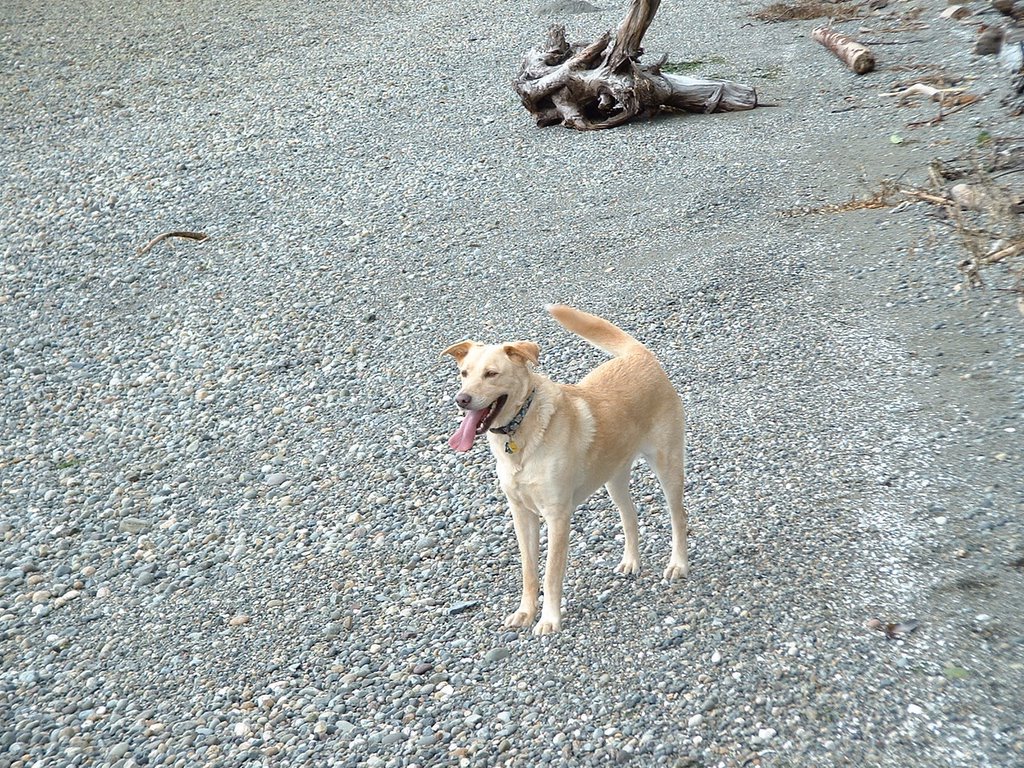
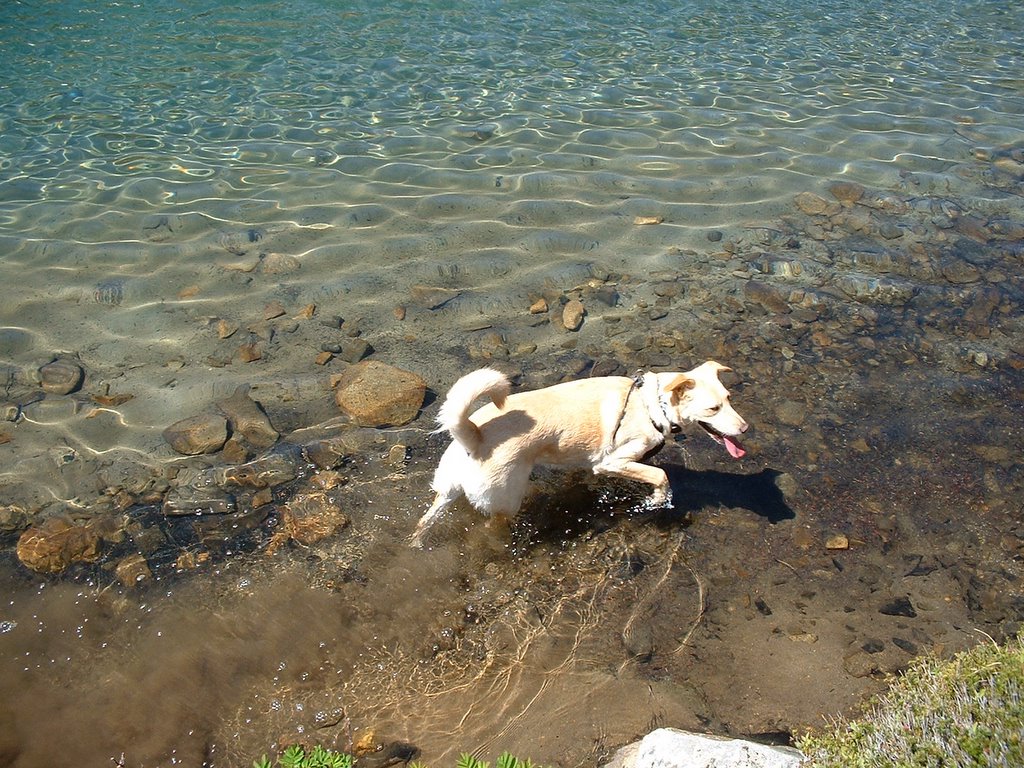
Sara, Susan, Bella and I headed over to Vashon Island for a day of checking out belching contests at the Strawberry Festival (the kids of Vashon don't belch very well) and do some short hikes. We ended up doing a short hike through an old gravel pit down to a gravel beach along Puget Sound. Bella loved the smells of the beach, but didn't quite understand that the Sound is salt water! It was nice to be on a relatively remote Puget Sound beach where the dog could run free and explore. We also did a short (1 mile?) loop hike through old-growth forest. The highlight (lowlight) was hearing a terrible screeching sound and minutes later a concerned owner looking for her dog.
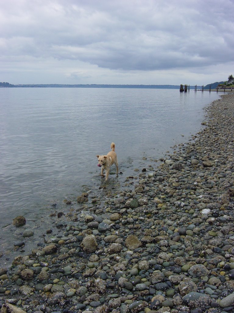
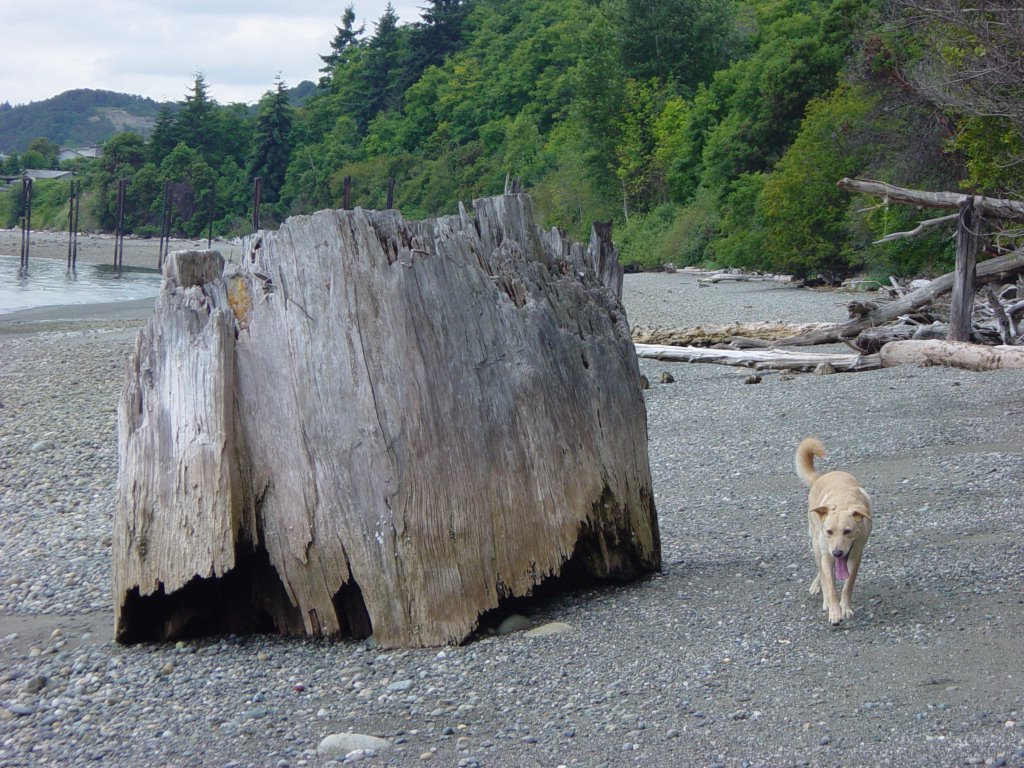
Distance: 2 miles?
Elevation Gain: 200'?
Weather: Overcast, humid
Dog Rating: Beaches smell great! Salt water tastes great!
Read more!
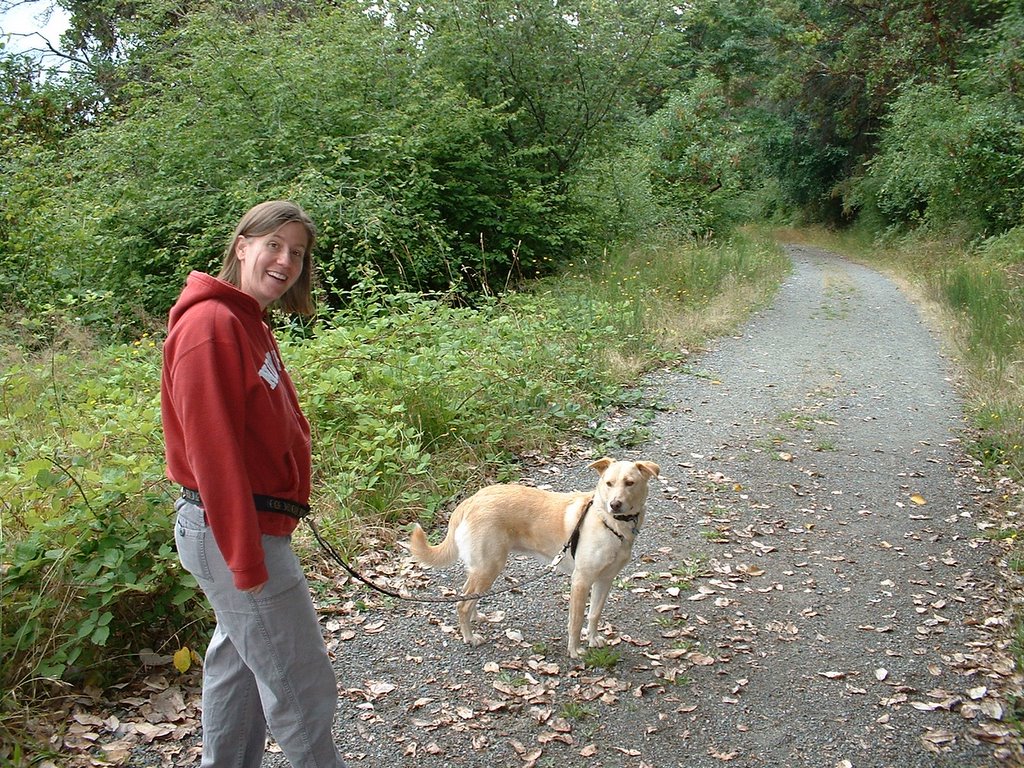
Sunday, July 03, 2005
Paddy-Go-Easy Pass and Sprite Lake, Alpine Lakes Wilderness

Alex Jones, Bella and I headed up the Salmon La Sac road in the Cle Elum River valley to do this hike. Alex was interested in scouting out a route over to the French Potholes underneath the Red Cliffs of Paddy-Go-Easy Pass, but no bootpath was obvious. Nonetheless, Sprite Lake was a scenic pond and the hike up was relatively interesting, albeit up, up, up. The view from Sprite Lake looks over to "The Cradle" which was a quite impressive peak. We also found some old mine tailings (small) in the Sprite Lake basin.
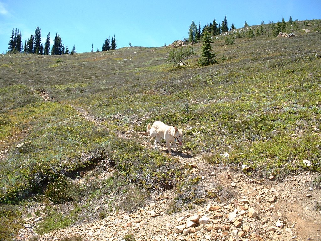
Distance: 7.5 miles
Elevation Gain: 2700'
Weather: Sunny, warm 70s
Dog Rating: Bella liked the lake, although there were lots of bugs there. It got pretty warm in the afternoon heading down.
Read more!
![]()