Saturday, September 30, 2006
Kidder Mountain Hike, Wapack Trail
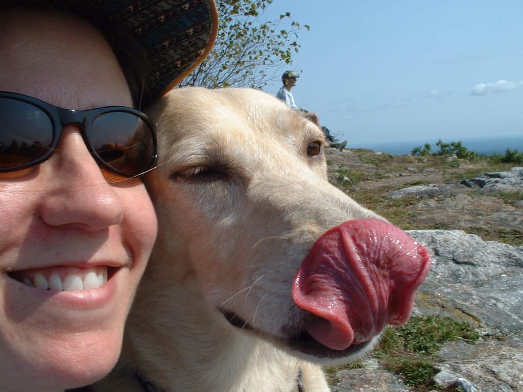
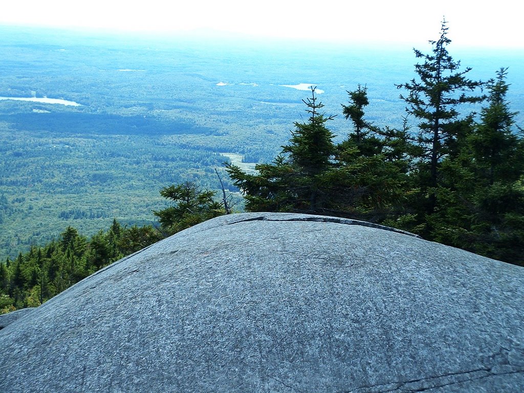
Sara's mom Gloria was visiting, so we headed out to Kidder Mountain on the Wapack trail. It was a relatively easy trail to the top (there is some elevation gain), and the views from there were quite nice for the effort expended. Plus Bella was scared by some scent she picked up off a tiny pine tree-tail between the legs, very intently sniffing. It's a secret Bella will take to her grave.
Read more!
Read more!
Sunday, September 17, 2006
Wapackin' It, Mt Watatic, MA-NH border
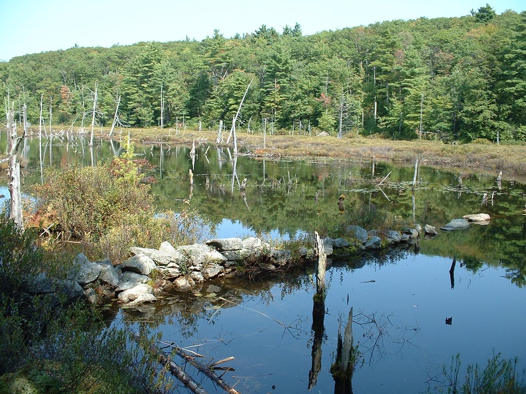
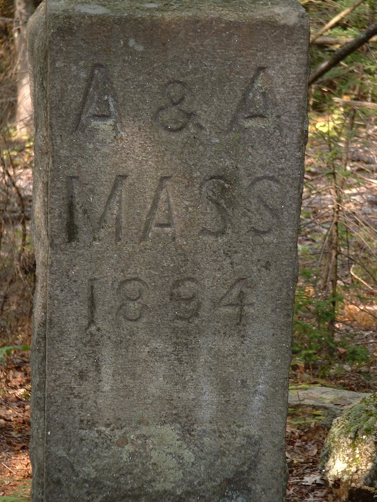
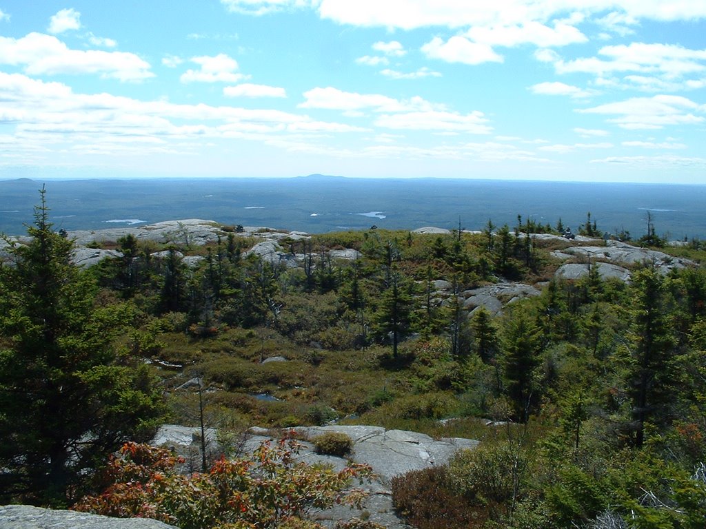
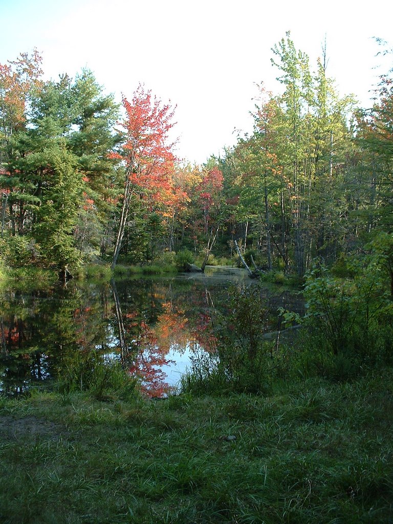 We hiked the Wapack trail from MA-119 to Binney Pond on a nice sunny September Sunday. The trail begins by ascending Mt Watatic. At the summit we found a passel of Boy Scouts, a few other folks, and views to Mt Monadnock, Mt Wachusetts and the expanse of the Massachusetts-New Hampshire border area. We then headed towards Nutting Hill (not much of a view from here), and then along some old forest roads to scenic Binney Pond. After seeing a miniature snake and sitting along the shores of marshy Binney Pond and spotting a painted turtle we headed back, this time avoiding Mt Watatic and returning on the State Line (blue blazed) trail. It will be fun to explore the rest of the 21-mile Wapack Trail!
Distance: 6 or 7 miles
Elevation gain: 600 ft +
Read more!
Sunday, September 10, 2006
Mount Monadnock State Park, NH

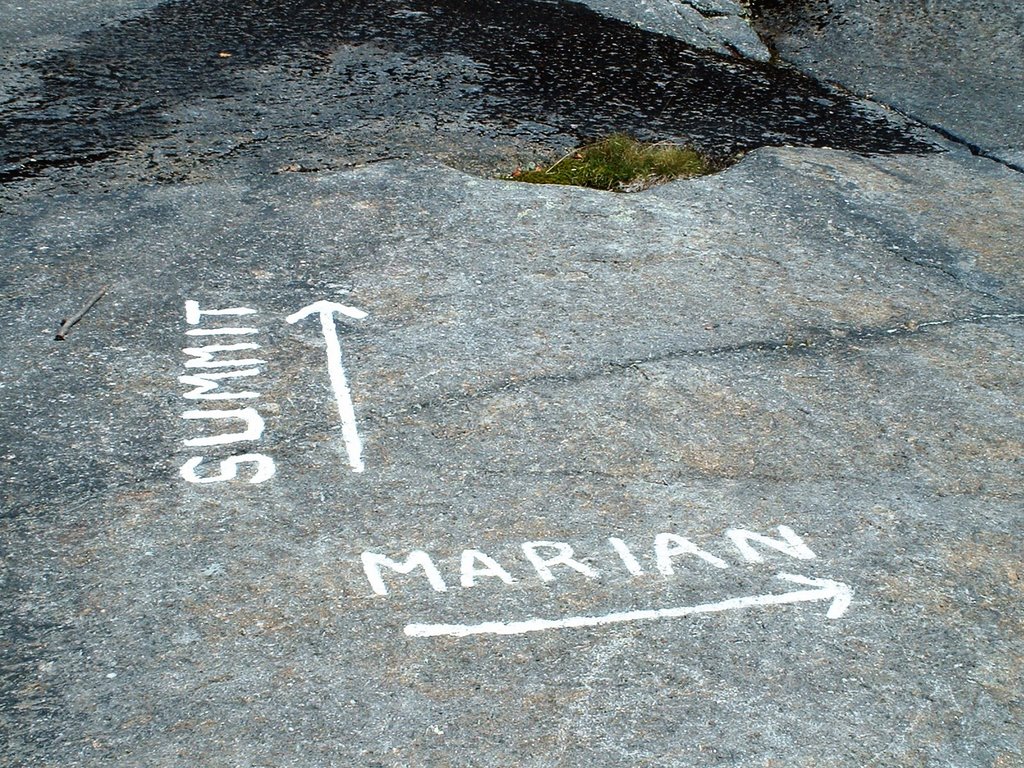
Sara needed to work, and dogs aren't allowed, so I went solo on a trip up Mount Monadnock in southern New Hampshire. I decided to try a non-standard route, as the main route up is apparently a super-highway of hikers. I headed up the White Dot trail, turned right on the Cascade Link trail, and then ascended the Red Spot trail to the Pumpelly Trail and the summit. The Red Spot doesn't screw around in climbing Monadnock and there were some steep sections scrambling up rock faces. But open ledges with views were quickly reached. At the top there were a ton of people who had climbed up the White Dot trail. I found a nice spot sheltered from the wind and enjoyed lunch while looking out to Mt Wachusetts, Quabbin Reservoir, and the Boston skyline. I decided to descend via the Marlboro trail. The going was pretty steep and slow, and I needed to find the Marian connector trail to get back to the parking lot. I had missed a couple of other similar connector trail so I was a bit nervous about finding the trail. Never to fear, the junction was well marked. The way home from there was a nice easy stroll through the woods along a brook and by some old stone walls.
Distance: 5 miles???
Elevation Gain: 1800 ft
Read more!
![]()