Saturday, June 16, 2007
Bella, the bear, and Mount Greylock
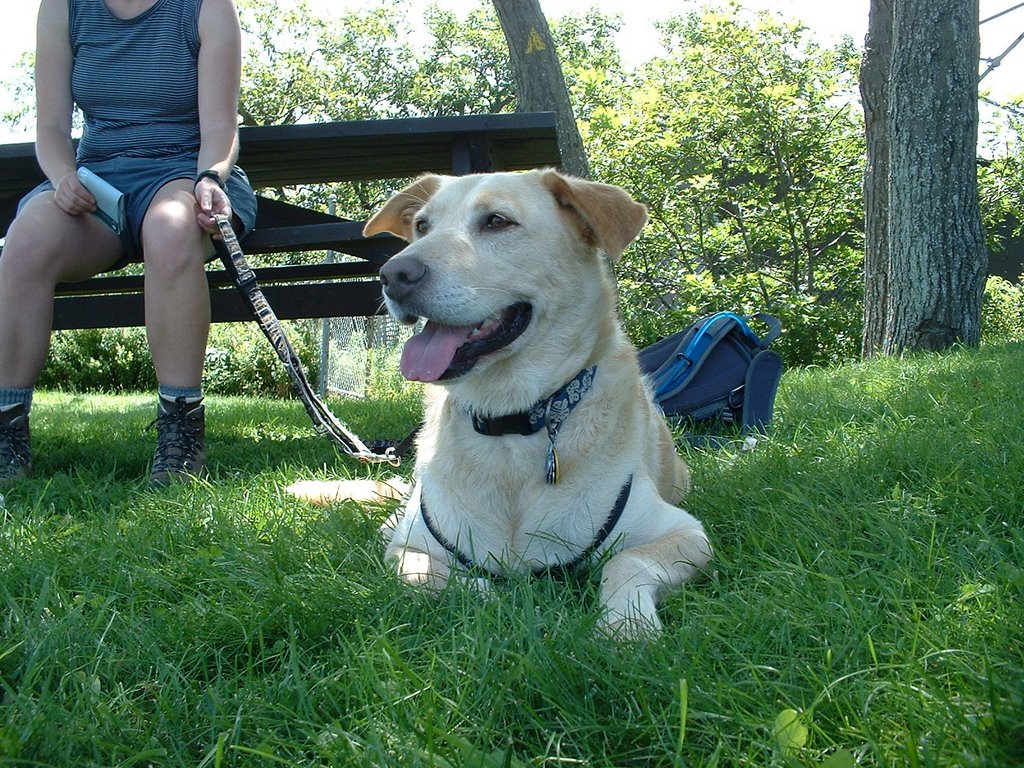
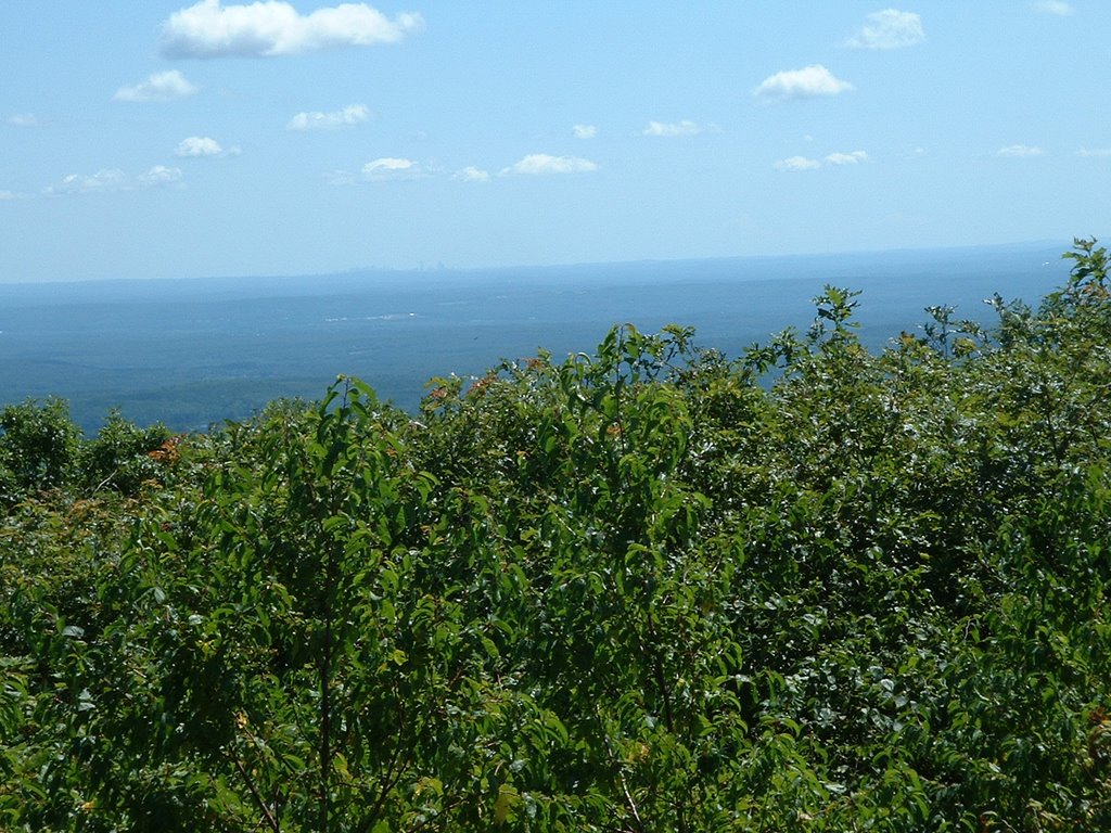
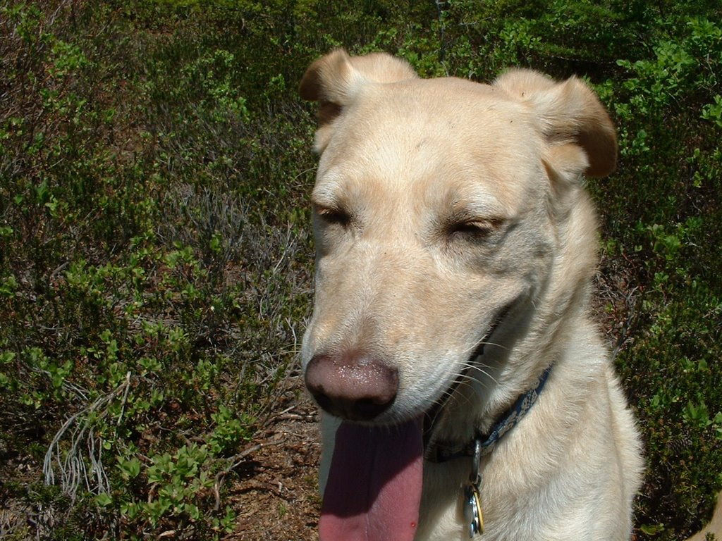
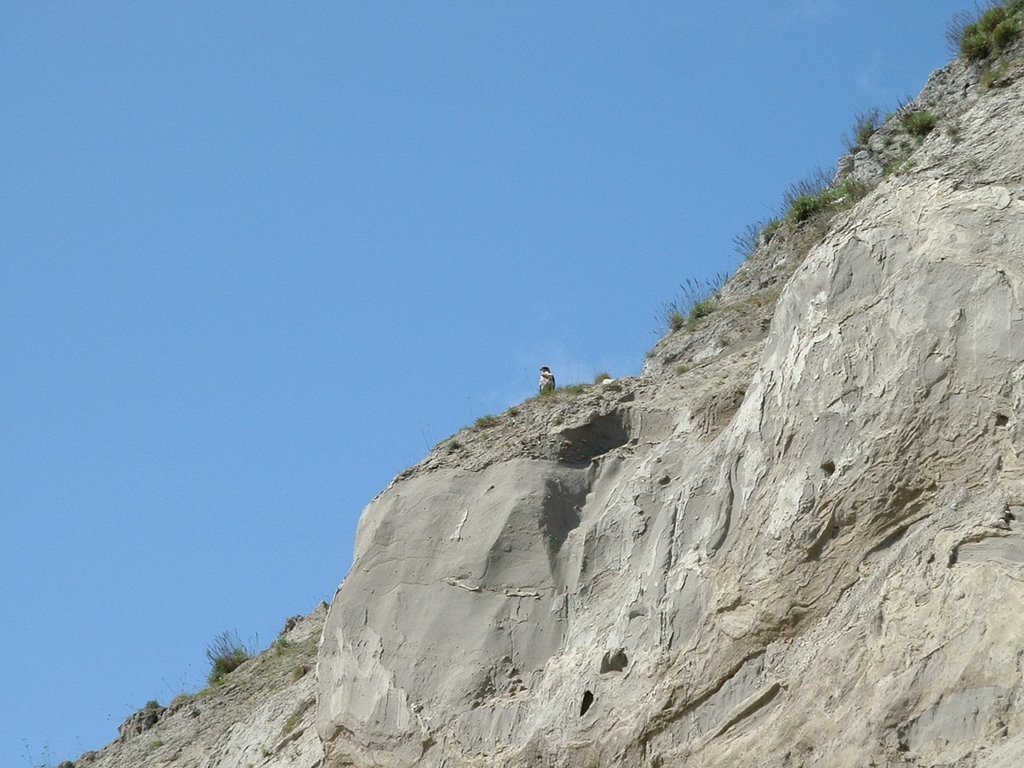
With Smelly Blob #2 (Sara) out of town, Bella and Dave headed out west (western Massachusetts that is) to bag a state high point. Mt Greylock rises like a Phoenix in the sky of western Mass, towering to an elevation of 3491 feet. We started off on the Hopper Trail (parking lot at 1100 feet) on the east side of the mountain, which steadily ascended to Sperry Campground. Because the road to the top of Greylock is closed until 2009, the campground was deserted. After a refreshing drink from a stream near the campground, we continued our ascent to the summit, reaching the War Memorial Obelisk after about 2 hours of hiking. Again the place was deserted, which was a bit creepy since it's so developed. After enjoying the views to the east, and eying the developing storms that way, we continued north on the ridgetop along the Appalachian Trail. Here, at the junction with the Bernard Farm trail, we had our most exciting moment of the day. We spooked a small black bear about 30 feet ahead of us. Fortunately it bolted away from us, and Bella proudly woofed from the safety (?) of her leash attached to Smelly Blob #1. After the heart rate came back from near-fatal levels, we continued on north, reaching the summit of Mount Williams, with nice views down to the town of North Adams. After cautiously crossing Notch Road (orange road signs ominously warned "Pass at your own risk"), we headed down the Money Brook trail. I was pleasantly surprised at this nice section of trail, which included a side path to a high waterfall, and a nice path (once we descended to the junction with the Mt Prospect trail) paralleling the mixed alluvial-bedrock (Geomorph!) channel. We returned to the car after about 5.5 hours of hiking, 2300 feet of elevation gain, and around 11 miles of distance. A very nice day and a very nice hike. Fortunately the heavens waited to pour down on us until we were headed back to Worcester safely sheltered in the car.
Read more!
Read more!
Thursday, June 07, 2007
Birthday on Wachusetts
Having turned 33, Sara, Bella, and I took a short hike at Mt Wachusett in the late afternoon. We headed up the Bolton Pond trail (humming Michael Bolton's version of Sitting on the dock of the bay) past Bolton Pond (admiring the handiwork of the beavers who added a couple of feet to the height of the dam) and the 8th wonder of the world, Balance Rock. Balance Rock consists of a large rock balancing on top of another rock. We continued our trek up the Semuhenna trail, connected to the West Side Trail, and headed back downhill via the Old Indian Trail back to Balance Rock (still precariously perched!). A nice hike a short distance from Worcester.
Read more!
Monday, May 28, 2007
Lookout View, Shelburne Farms, Shelburne, VT
The day after the Burlington marathon the Massey-Bierman clan and the Mitchell clan (sans Bella) enjoyed a nice breakfast at Shelburne Farms, followed by a "hike" to Lookout View, with views of Lake Champlain and the Adirondacks. About as far as I wanted to walk (teeter may be the more apt term. Lovely breakfast, lovely views, unfortunately Paul's lab burned while we were here (serious).
Read more!
Read more!
Saturday, May 05, 2007
Ingalls Creek Trail
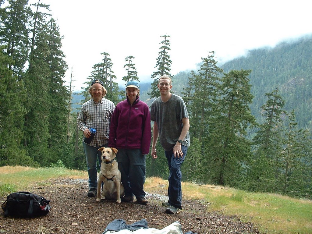
Back on the left coast to visit my sister, Bella's (only) dog-friend Lulu, Susan, and I did some early-season hiking on the east side of the Cascades. The Ingalls Creek Trail rocks. It's a fairly gentle grade alongside the creek, and starts at a low enough elevation that it was snow-free (for the most part). We enjoyed watching Lulu jump on some high boulders, snacks on the beach, a gorgeous wildflower display, and peekaboo views of the Stuart range. After about 3 miles we ran in to some larger blowdowns that were somewhat difficult to navigate around, and we called it quits after reaching a large pile of avalanche-runout snow. Lulu entertained us by spazzing on the snow. She also apparently prefers heading home rather than heading in to the wilderness, as she hiked between Susan and I on the way up, but gladly hiked in front of us on the way back. We probably hiked 8-10 miles, gaining 1000 feet or so. Fortunately my friend Alex didn't tell the tale of being stalked by a cougar on the trail until after we had hiked it. Apparently he hiked it in the snow and found cougar prints overlying his shoeprints in the snow. Freaky!
Read more!
Read more!
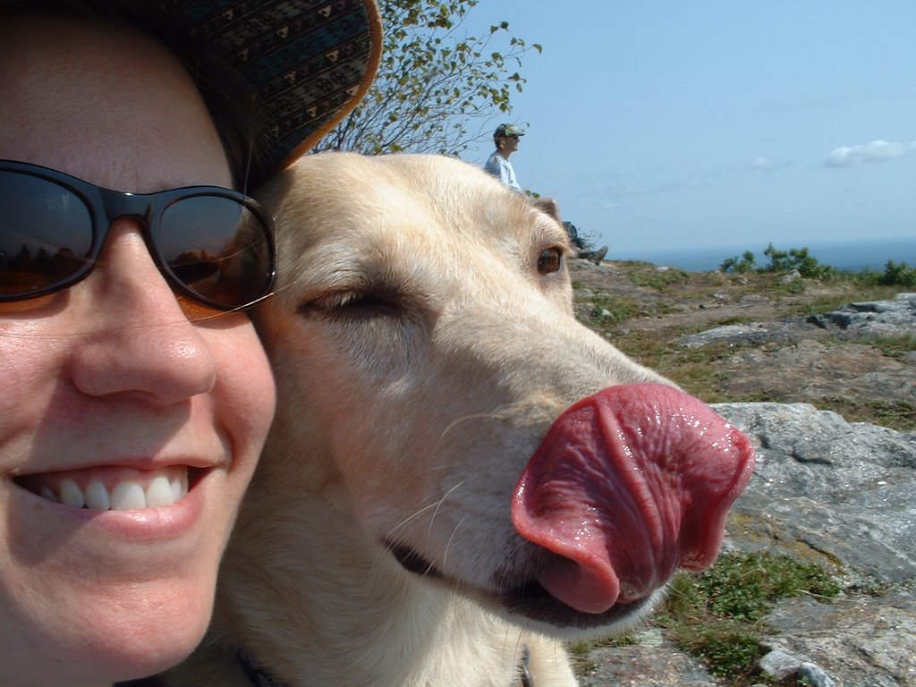
Sunday, February 18, 2007
Snow tracking at the Quabbin

Because the citizens of Boston (and Worcester)don't like to drink dog poop, Miss Bella stayed at home while Sara and I explored part of the Quabbin Reservoir. About an hour west of Worcester, the Quabbin Reservoir is a de facto wilderness created by the damming of the Swift River (not no more it ain't) and subsequent creation of a watershed protection buffer around the Reservoir. Hoping to snowshoe, we headed to the main visitor center to find about 4 inches of well-packed snow. Easily bareboot-able! We tooled around near the visitor center, got confused by the terrible map (which was missing an entire hill) that they provide at the center, and enjoyed all the animal tracks preserved in the snow. Lots of wild kitty, canine, and turkey tracks. An impressive place with apparently a lot of wildlife that will be fun to explore more.
Read more!
Sunday, January 14, 2007
The Boat Ride from Hell
Again not a real "hike" perse (and Bella yet again is not involved), but definitely an adventure! We signed up for a boat tour of the Sian Ka'an Ecological Preserve to a nesting bird island. The day was relatively stormy and windy, but the intrepid Mitchell family went nonetheless (because the company wouldn't refund us the money). It actually was pretty fun, as we got to swim in a cenote, and the arrival of the birds to the island (they prefer the island because it's far enough away from land to be protected from predators) was impressive. Most impressive was the hellacious boat ride into the wind/biting rain on the way back to the dock. A Mitchell Family Bonding Experience (tm). I would definitely do this tour (or a similar one) again, but on a nicer day!
Read more!
Saturday, January 13, 2007
Akumal Geology Walk
During the Mitchell Family vacation in Akumal (south of Cancun) we hired Dr. Charles Shaw to show us the geology of the Akumal area. He explained where sea-level high stand beaches/points were, showed us reef organisms exposed, described the water quality and quantity issues plaguing Akumal, and showed us possible tsunami deposits (basically big piles of reef rubble)! A very nice way to learn about the geology and issues of the Akumal area.
Read more!
Read more!
Saturday, December 02, 2006
AMC Mount Holyoke Hike
I joined an AMC young members hike of the Holyoke range west of Worcester. Winter hadn't set in yet, so we enjoyed a crisp sunny day traversing part of the range. Napoleon the dog was my substitute for Bella today (sorry B!)
Read more!
Read more!
Saturday, September 30, 2006
Kidder Mountain Hike, Wapack Trail
Sara's mom Gloria was visiting, so we headed out to Kidder Mountain on the Wapack trail. It was a relatively easy trail to the top (there is some elevation gain), and the views from there were quite nice for the effort expended. Plus Bella was scared by some scent she picked up off a tiny pine tree-tail between the legs, very intently sniffing. It's a secret Bella will take to her grave.
Read more!
Read more!
Sunday, September 17, 2006
Wapackin' It, Mt Watatic, MA-NH border
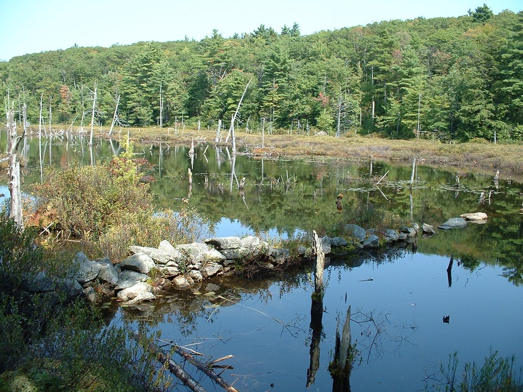
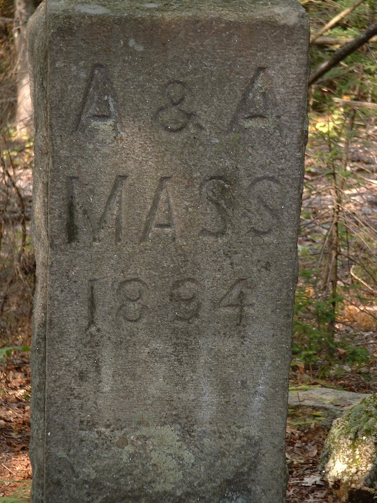
 We hiked the Wapack trail from MA-119 to Binney Pond on a nice sunny September Sunday. The trail begins by ascending Mt Watatic. At the summit we found a passel of Boy Scouts, a few other folks, and views to Mt Monadnock, Mt Wachusetts and the expanse of the Massachusetts-New Hampshire border area. We then headed towards Nutting Hill (not much of a view from here), and then along some old forest roads to scenic Binney Pond. After seeing a miniature snake and sitting along the shores of marshy Binney Pond and spotting a painted turtle we headed back, this time avoiding Mt Watatic and returning on the State Line (blue blazed) trail. It will be fun to explore the rest of the 21-mile Wapack Trail!
Distance: 6 or 7 miles
Elevation gain: 600 ft +
Read more!
Sunday, September 10, 2006
Mount Monadnock State Park, NH

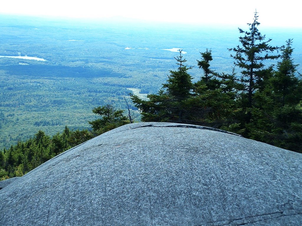
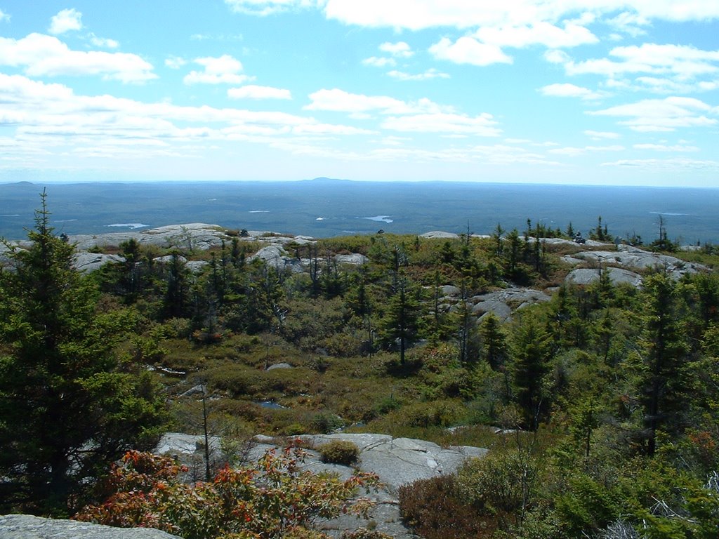
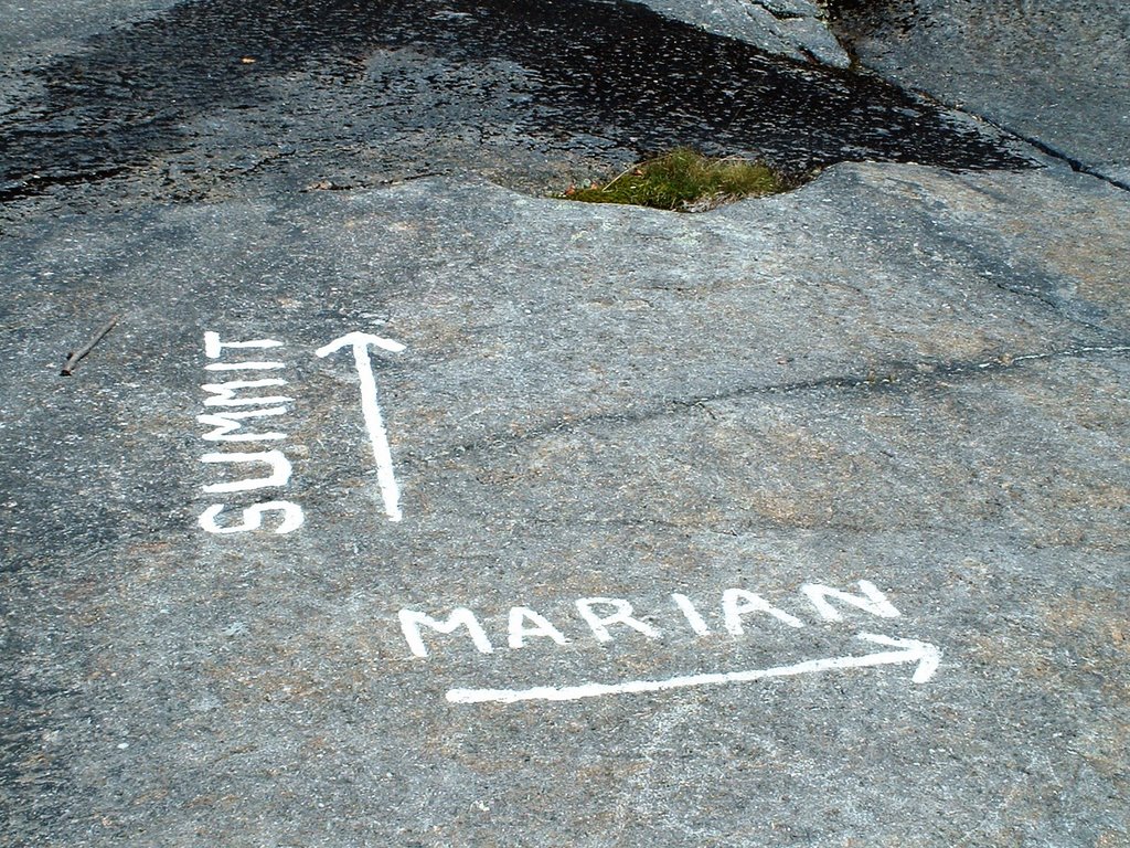
Sara needed to work, and dogs aren't allowed, so I went solo on a trip up Mount Monadnock in southern New Hampshire. I decided to try a non-standard route, as the main route up is apparently a super-highway of hikers. I headed up the White Dot trail, turned right on the Cascade Link trail, and then ascended the Red Spot trail to the Pumpelly Trail and the summit. The Red Spot doesn't screw around in climbing Monadnock and there were some steep sections scrambling up rock faces. But open ledges with views were quickly reached. At the top there were a ton of people who had climbed up the White Dot trail. I found a nice spot sheltered from the wind and enjoyed lunch while looking out to Mt Wachusetts, Quabbin Reservoir, and the Boston skyline. I decided to descend via the Marlboro trail. The going was pretty steep and slow, and I needed to find the Marian connector trail to get back to the parking lot. I had missed a couple of other similar connector trail so I was a bit nervous about finding the trail. Never to fear, the junction was well marked. The way home from there was a nice easy stroll through the woods along a brook and by some old stone walls.
Distance: 5 miles???
Elevation Gain: 1800 ft
Read more!
Saturday, August 19, 2006
Exploring Pioneer Valley


 To learn a little bit about Massachusetts geology, we headed out to the Connecticut River Valley. Our first stop was to see some fossilized dinosaur tracks near Northampton, and then hike up Mt Holyoke (elev 936). I need to hike a mountain where there isn't a parking lot at the top (but this explains why some people think there is a road to the top of Mt Rainier)! My favorite picture from this trip is Bella being "loved" by a couple of kids in the Mt Holyoke parking lot.
 Read more!
Saturday, August 12, 2006
Purgatory Chasm
Our exploration of the area around Worcester continued with a visit to Purgatory Chasm about 15 miles south of town. Sara's going to do a geology field trip here. The Chasm is developed in pegmatitic granite and the walls reach up to 60 or 70 feet above the chasm floor. The best part is that there are all sorts of labelled areas of the chasm, such as the Devil's coffin. The genesis of the chasm has been hypothesized to be related to glacial outburst floods, faulting, or glacial plucking. There's no way that chasm was created by an outburst flood, as there's no sign of any fluvial erosional or depositional features and the head of the chasm is on a ridge top. I think it's likely glacial plucking that preferentially eroded out a jointed and/or faulted area. But what do I know?
Miss Bella enjoyed hopping around the rocks, but did not enjoy our frequent stops to look at the rock mineralogy and pegmatitic dikes.
Read more!
Miss Bella enjoyed hopping around the rocks, but did not enjoy our frequent stops to look at the rock mineralogy and pegmatitic dikes.
Read more!
Sunday, August 06, 2006
Life goes on - Wachusett Mountain
The highest point in Worcester County is about 15 miles north of our house. Wachusett appears to be the "nearby" ski hill to Boston, which means it's close to Boston, but maybe not the best resort out there. Anyway, it's still summer (but the unbearable heat had mostly broken), and we needed to get out and explore our new environs. We parked in a parking lot at the bottom and headed up a classic New England trail-rocky and steep. Pleasant enough, and the views from the top (ignoring the parking lot we were standing in) were very nice. We could see the Boston skyline to the east, Mt Monadnock in New Hampshire to the north, and the Berkshires to the west. We decided to head down the road rather than bust up our knees on the rocky trail.
Read more!
Tuesday, July 04, 2006
It's the End of the World As I Know it...West Cady Ridge


Well, we're really moving and leaving Washington. Headed to the east coast and the wonderful metropolis of Worcester, Massachusetts. Between reunion, house-hunting in Worcester, and packing for the move our hiking time ran way too short. So many places yet to explore in Washington and the northwest. I should probably make a list in case we ever return, but doing so would probably depress me and make me cry. Sigh.
Fortunately we were able to make time for a July 4th hike up West Cady Ridge, one of those hikes I've wanted to do for several years. The trailhead is near the Blanca Lake trailhead (one of my favorite hikes that I wanted to do again). The West Cady trail is a typical Cascades trail in that it climbs and climbs. It was pretty warm, so Bella was happy to reach a couple of snow patches which she promptly ate and peed on. The trail eventually plateaus in a large meadow, which we dubbed the frisbee field. We had lunch here and then headed back. If we had had more time and conditioning we could have followed the trail along the ridge all the way to Benchmark Mountain,a roundtrip distance of 16 miles.
Distance: 8 miles
Elevation gain: 3000 feet?
Read more!
Sunday, May 28, 2006
Duckabush River Trail
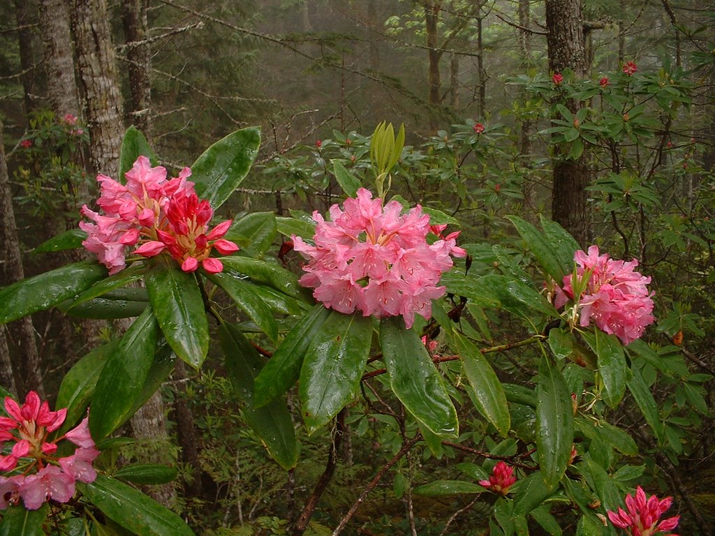
Because of the high snow pack at higher elevations, we went on a nice river walk in the eastern Olympics. The first few miles of the Duckabush River are in the Olympic National Forest so Bella got to stretch her paws too! The hike began on an old road, but then descends to a nice stretch along the river. We then got some vertical elevation in going up Big Hump. Not much in the way of views (clouds and trees), but the blooming Rhodies more than made up for it!
Distance: 8 miles
Vertical: 1,500 ft
Read more!
Sunday, May 14, 2006
A return to Bella's 'hood "Good/Sweet"
We're not sure what happened to the photos, but during our trip south to Mt St Helens Sara and I decided to scout out the area where Bella had been picked up by animal control 4 plus years ago. Our adoption paperwork for Bella indicated that she had been picked up on Jones Road by Lewis County Animal Control. We found Jones Road on the map, and after a few missed turns found the road just outside of the town of Winlock. Bella was not with us, which was ok with me because I feared that she'd recognize the area, jump out of our car at 40 mph, and run into the arms of her former owner crying on the front porch of a beautiful farmstead. Anyway, that didn't happen, and it was odd to think of our dog being a stray somewhere on this road. Was she picked up at one of the rural houses or farms on the road? Was she found at the end of the road, where it turns into a gravel road and enters forest land? We'll never know. Stupid dog doesn't talk, and all the Lewis County Animal Control sheet said was that Bella was "good/sweet"...
Read more!
Read more!
Mount St Helens-Boundary Trail


Mt Adams beyond Spirit Lake
The only other time I had been to Mt St Helens was a cloudy and rainy day with no views of the crater. With our impending move to the East Coast, and the continued volcanic activity at Helens, Sara and I decided that we needed to make time to get down there. We did the tourist thing at the Johnston Ridge Observatory then headed down the Boundary Trail for better views of the crater. The weather was sunny, snow was mostly gone from the trail, and the crowds thinned out 1/4 mile from the visitor's center. We saw a couple of rockfalls from the crater that kicked up some ash plumes, and ended at a spot with a view of the crater and Spirit Lake.
Read more!
Saturday, April 22, 2006
Double Bluff Beach and Ebey's Landing Whidbey Island
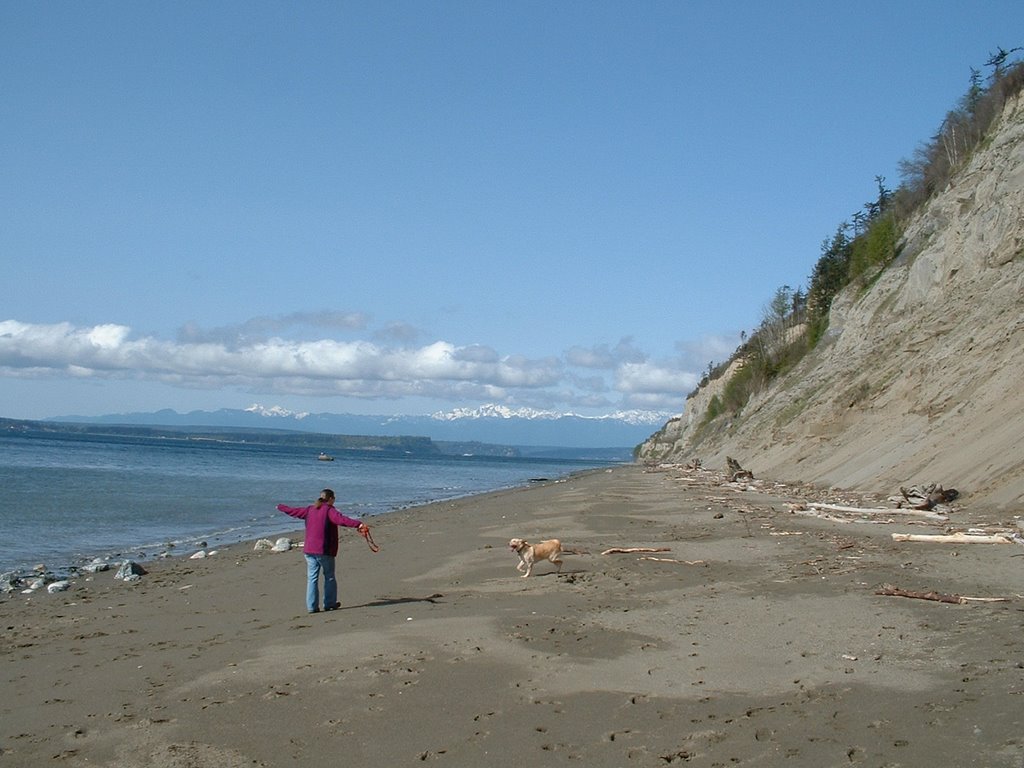

The weather has finally turned and work let up a bit, so Sara, Bella and I decided to head out to Whidbey Island for a doggie adventure. Double Bluff Beach is on the south end of the island and is an official off-leash dog area. Bella had been here before (and written up on Seattlest.com), but this was the first time for Sara and I. Bella loved running around, wading in Puget Sound, smelling all the smelly stuff found at beaches. Sara and I enjoyed the cool bluffs (and were hoping for no earthquakes during the walk!), views of the Olympic Mountains, and the birds. We saw a great blue heron, adult bald eagle, and another large brown bird-either an immature bald eagle or an osprey. We hiked all the way to a rocky spit past the bluffs, where the wind was whipping down from the north. Following our visit to Double Bluff beach, we headed up to Coupeville and enjoyed a nice meal at Christopher's (roasted garlic soup, mmmm), and then headed out to Ebey's Landing, which was a mild mob scene. There was some sort of road rally going on, with hundreds of 50 year old men driving convertibles and their bundled up wives riding shotgun. Anyway, we were a bit tuckered from our Double Bluff hike, so we only hiked a bit up the bluff and sat and enjoyed more spectacular views of the Olympic Mountains. We were back in Seattle by 4 pm, in time to mow the lawn! It had been too long (over 2 months) since I had last been out on something resembling a hike!
Distance: 4 miles at Double Bluff, 2 miles at Ebey's Landing
Elevation Gain: 2 feet at Double Bluff, 200 feet at Ebey's Landing
Dog Rating: Best place ever...
Read more!
Sunday, February 12, 2006
Lower Gray Wolf River, Olympic National Forest

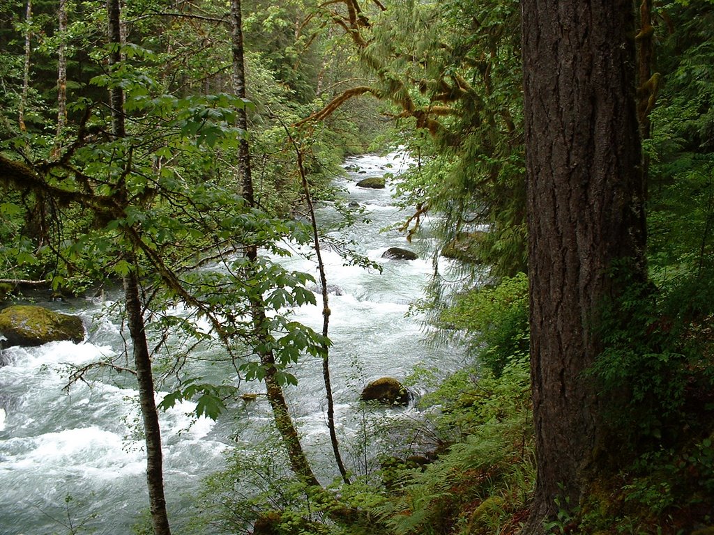
Having been abandoned by Sara (the dutiful daughter that she is, she was in Minnesota helping her mother post-surgery), Bella and I soothed our fragile psyches by taking a trip over to the Olympic Peninsula. Sara and I had actually hiked this trail maybe 5 years ago, but too much lead in my head has made those memories quite distant and hazy. Anyway, it took us about 2 hours to reach the trailhead (including a well-timed trip on the Edmonds-Kingston Ferry), with only one time when I thought our Subaru was going to fry itself. The trail starts off down an abandoned road, soon passing a sign for the intriguingly named Cat Creek Loop. After about a mile or so the trail dives down to the river. I got way turned around in this section, as the river has been on the left and then all of a sudden we descend off to the right to reach the river. It's because this section of trail is at a big incised meander bend, so in effect the river is in all directions! The trail then heads about two miles up the river, climbing at times, through beautiful forest. We encountered numerous blow-downs which were fairly easy to navigate except for one or two. Bella showed off her agility skills by deftly navigating each challenge in front of her, including dog walks across elevated fallen trees, and lots of leaping. Her owner had several heart attacks watching her and dreading having to carry back a 60 pound dog with a broken leg! We turned around at a section where the trail had landslided away which was presumably close to the actual end of the trail, where a footbridge had washed away years ago. Bella and I high-tailed it back and caught the Bainbridge Ferry (after following a car of elderly folks driving 35 in a 55 for the last 6 miles to Bainbridge, watching my 15 minute window for getting on the next ferry dwindle to 5 minutes!).
Distance: 8 miles
Elevation Gain: 1000'? Lots of up and down
Weather: Sunny, 50
Dog Rating: Dog agility in the wild! Woohoo! Four baroos!


Read more!
Sunday, January 22, 2006
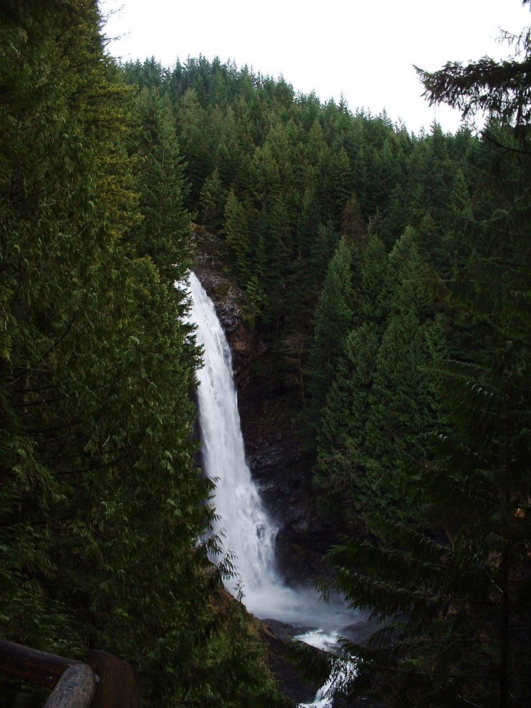
Wallace Falls State Park
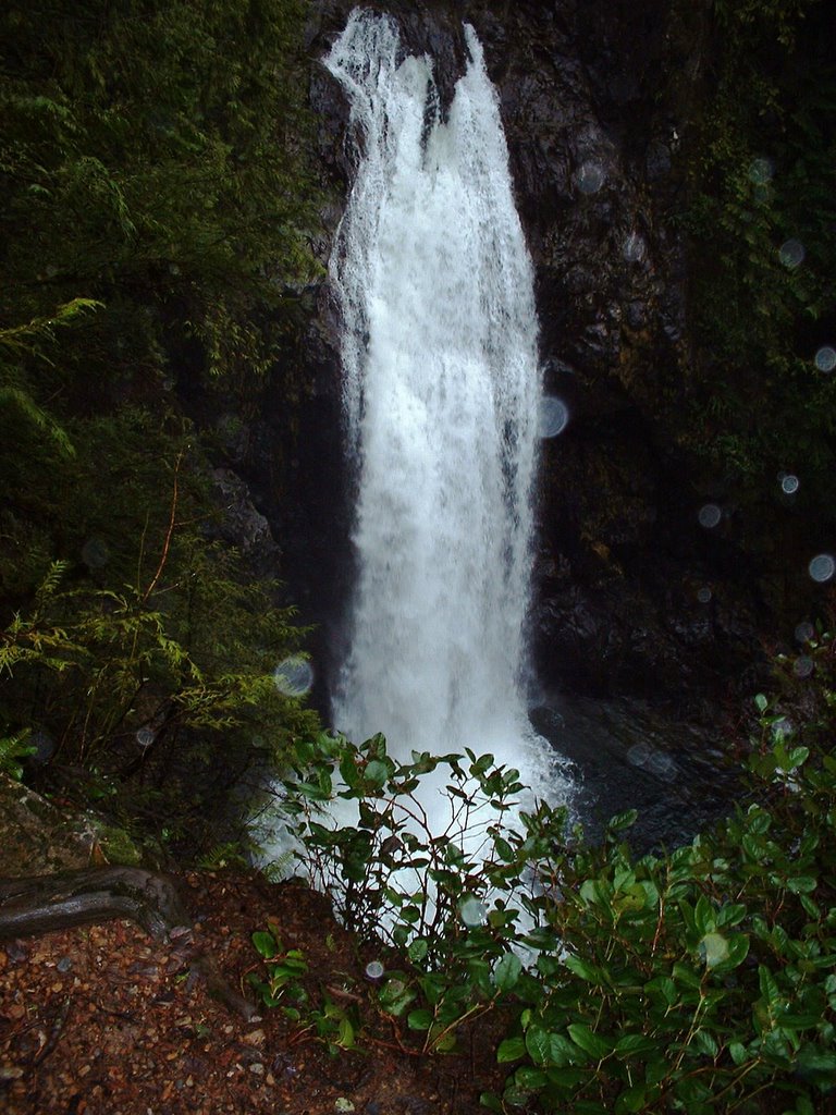
Bella and I went for a quick hike before the NFC Championship game to Wallace Falls. I'm not a huge waterfall fan, but this was a nice January hike with a decent elevation gain. We took the Woody Trail all the way to the Upper Falls, enjoying each waterfall overlook and some valley views. Bella and I smoked this trail (5.5-6 miles in about 2 and a quarter hours (with some additional down time enjoying the views).
Distance: 5.5-6 miles
Elevation Gain: 1700 feet
Weather: Cloudy, cool
Dog Rating: Why do we have to stop at every waterfall overlook?
Read more!
Sunday, January 08, 2006
Kendall Peaks Lake Road, Snoqualmie Pass, WA

Susan finally cajoled us to go snowshoeing in the Cascades for the first time since we got Bella over three years ago! We (Susan, Sara, Bella, and I) chose to start up the Kendall Peaks Lake Road knowing that we would not reach the lakes. We parked at the Gold Creek Snopark which was about as busy as a mall parking lot and got all gussied up. The road climbs the ridge on the west side of Gold Creek, eventually switchbacking up about 2000'. We made it to a switchback with a view of the valley, as well as the ski area before heading down. On our way down we took a side-trip along a relatively flat spur road with more solitude and views of the ski area. It took us just under 3 hours to complete the 4.25 mile trip. Bella really enjoyed running around in the snow, marking it often, and eating it often. I was teased mercilessly about my "pink hat" that I had bought on sale at REI the day before. The label said it was red!


 Bella begs for Susan's Cheese Sandwich
Read more!
Sunday, January 01, 2006
Lime Kiln Trail, Granite Falls, WA
I had the urge to start the New Year with a hike, so Sara, Bella, and I hiked the same Lime Kiln Trail that Bella and I had enjoyed several weeks ago. The forecast was for increasing rain and wind in the afternoon, so it was a bit ominous at the start of the hike when the winds picked up and blew down a few branches around us. However, the weather actually improved through the hike and we even saw blue sky! Again we found solitude on this trail, seeing only a trail runner at the tail end of our hike. I've found more solitude on this trail than any other I've been on in Washington! The trail was in excellent condition despite the copious rain we've received, which has raised the water levels of the Stilly a few feet.

Distance: About 7 miles roundtrip, but goes fast
Vertical Gain: About 400', most within the first 2 miles.
Weather: Overcast, 40s.
Dog Rating: I tried to pull Sara down on the slippery log bridge! What fun!
Read more!
Tuesday, December 27, 2005
Gooseberry Falls State Park, MN

We took a short trip up to Gooseberry Falls while visiting Rik, Karen, and Alex over Christmas. Sara and I braved the icy steps down to the lower falls, while Rik, Karen, and Alex toddled over to the upper falls (where we caught up to them). There was some snow but it was icy! We saw ice climbers who were climbing up the waterfalls. The highlight for Alex was exploring a little cave in the basalt.


Distance: A short mile?
Vertical Gain: 50' of icy steps
Weather: Overcast, low 30s.
Dog Rating: Stuck in Seattle.
Read more!
Saturday, December 10, 2005
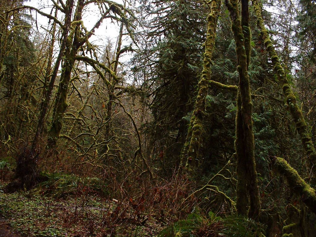
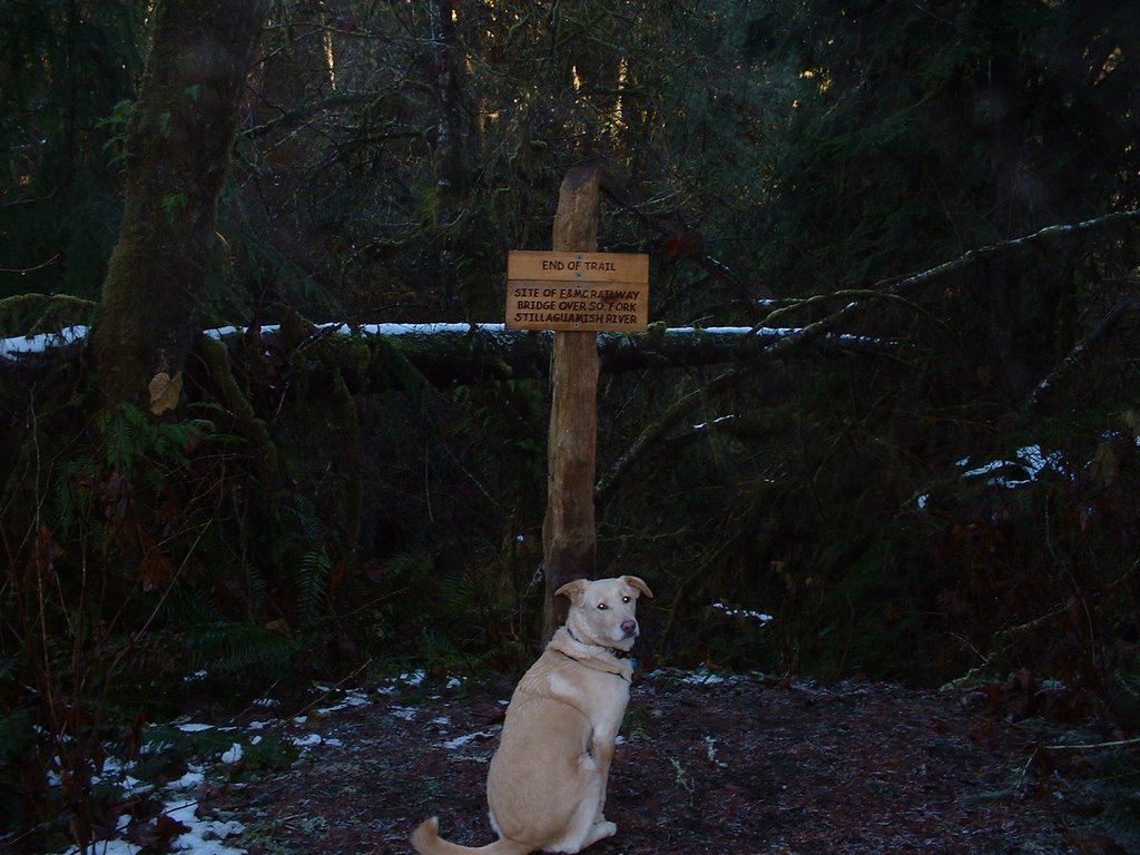
Lime Kiln Trail, Granite Falls, WA
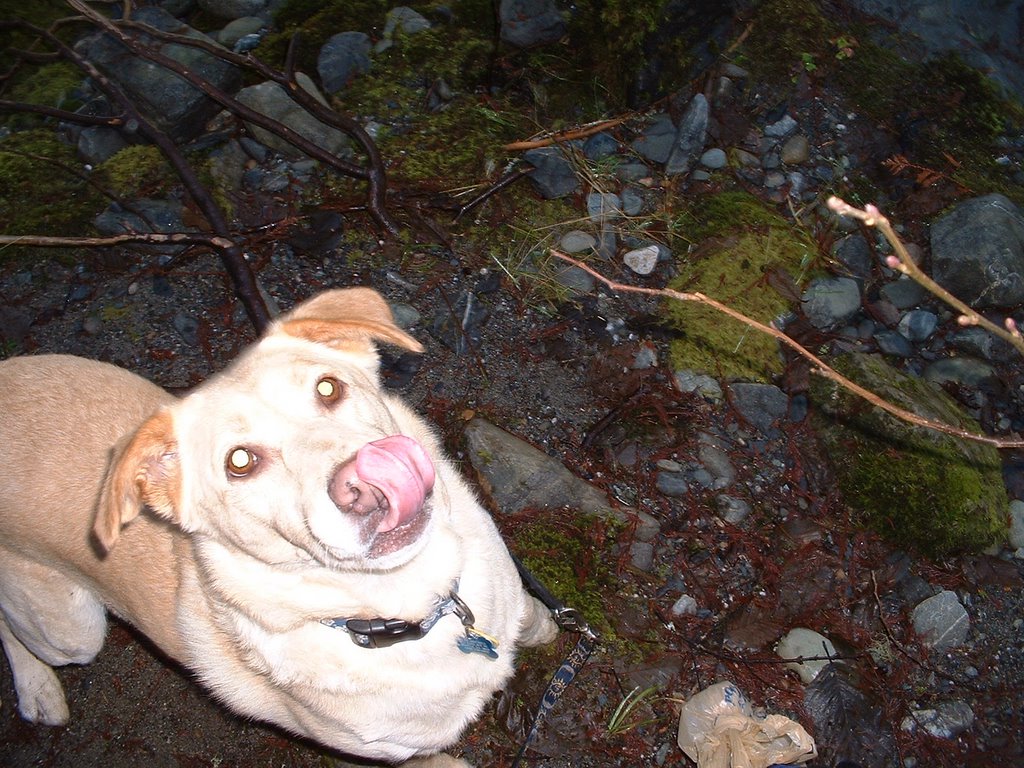
Bella and I decided to spend a December day exploring this new trail near Granite Falls. The trailhead has a large parking area, but signs warn that the gate is closed at dusk; with sunset at 4:15 these days, we parked outside the gated area. The trail was created by Snohomish County Parks and crosses clear-cut private land for about 1.5 miles before joining an old railroad grade above the South Fork Stillaguamish River. Once on the railroad grade the trail heads upvalley and is pretty flat while wandering through a moss-draped forest. It sure felt like a rainforest and the low light of a December afternoon made it seem even more mysterious and spooky. The trail passes by an old Lime Kiln and many rusted out artifacts from the past railroad/logging history of the area. The trail ends with a loop trail descending to a nice point bar on the Stilly River. This would be a great place to hang out in the summer, and the steam rising off the river was beautiful. Bella and I basically had this trail to ourselves, passing another person walking her dog and a trail runner within the first 15 minutes of the hike and then no one else. Not bad for a snow-free, relatively flat trail about an hour from Seattle! This will be a fun trail to come back to during different parts of the year, and also to explore the area around the Lime Kiln in more depth.

Distance: About 7 miles roundtrip, but goes fast
Vertical Gain: About 400', most within the first 2 miles.
Weather: Sunny, 30s, some ice and a bit of snow on trail in places.
Dog Rating: Woof woof. Nice long walk, lots of good smells!
Read more!
![]()